|
Aerial Photographs
By James V. Fields
June 17, 2001 On Father's Day I sent my husband up in a WWII-era L7 airplane. While the cockpit wasn't
completely open, one door was removed. James was able to get a few decent pictures from the trip. I'm probably going to try to go up next. I'd love to get more Cumberland Island pictures and some of Floyd's Neck.
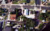
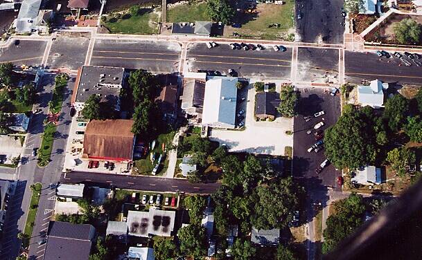
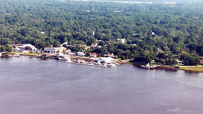
Downtown St. Mary's |

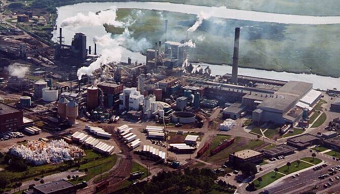
Gilman-Durango |

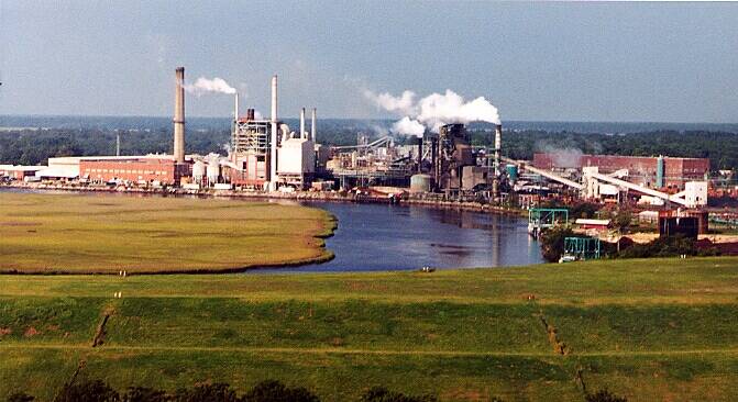
Gilman-Durango |
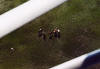
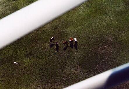
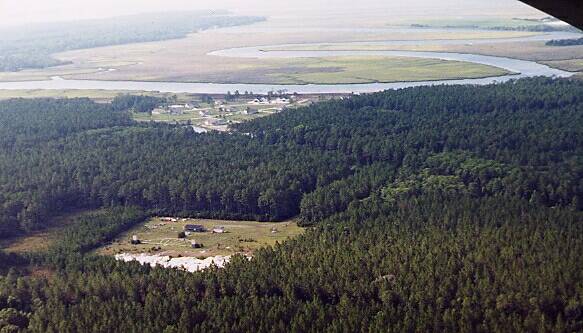
Cumberland Horses |
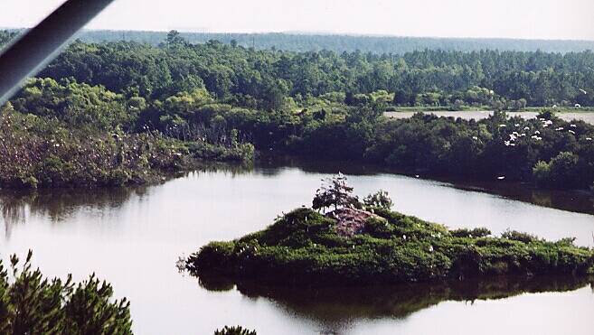
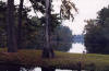
Island North of St. Mary's |
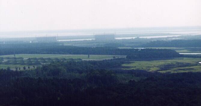
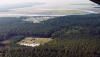
King's Bay |
Not Sure |
St. Mary's Waterfront |
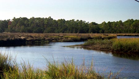
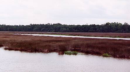
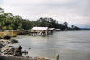
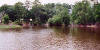
Borrell Creek
Borrell Creek runs through part of St. Marys. There's a rather nice restaurant on the banks
of the marsh, but I chose not to clutter up the pictures with it.
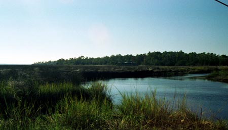
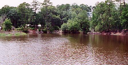
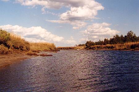
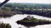
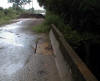
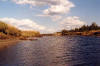
Crooked River
Crooked River from dock near Crooked River State Park. |
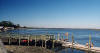
Crooked River from dock near Crooked River State Park. |
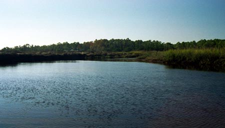
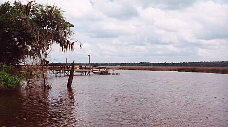
Crooked River from Deal's Landing (off Harriett's Bluff Road) |
Crooked River from Deal's Landing (off Harriett's Bluff Road). This is a good example of why the river is called "Crooked" - it doubles back on itself continuously. |
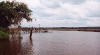
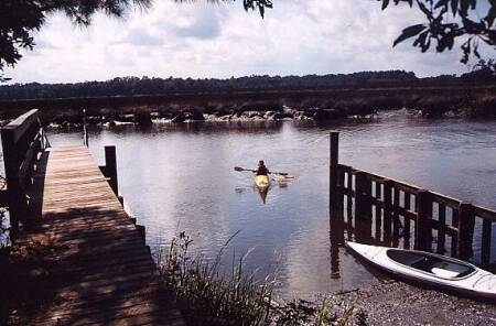
Private and community docks dot the river.
Boating and swimming are popular along its salty length. |
That's me [Tara Fields], folks! Photo courtesy of
M Jean Manning 2001 ©. |
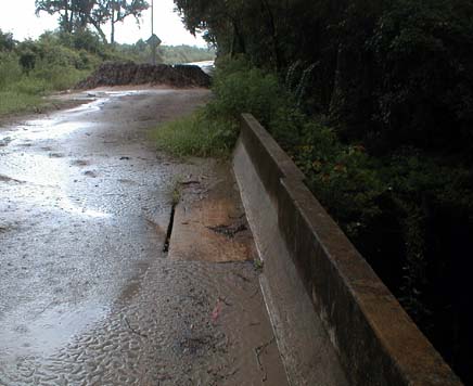
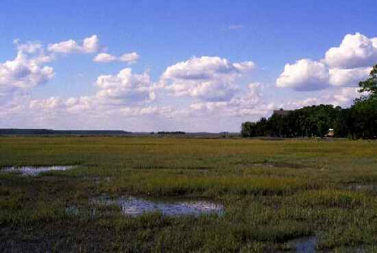
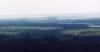
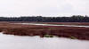
Hardee Swamp
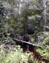 |
Camden has a wide variety of waterways. Some are full-blown rivers, others are tiny creeks that disappear during the dry season. Hardee Swamp is one of those trickles that most people don't ever notice! It's certainly no Okefenokee. So why bother devoting a whole web page to it? Because I felt like it! |
 |
These photos were taken during a looooong week of rain. The bridge over the swamp (Ella Park Church Road) had been closed for repairs. It was rather pretty out there. I managed to help a turtle out of the middle of the road before it got squished. At least I managed to
accomplish *something* when I'm out wandering around! |
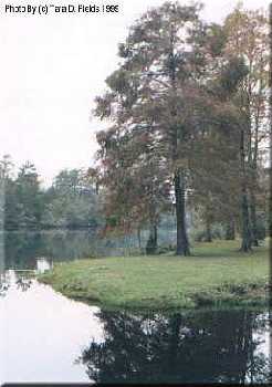
St. Mary's River
|
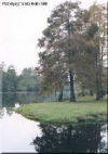
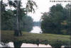
On November 14, 1998 the Guale Historical Society went on
a "ramble" to the original site of Coleraine in the far south west
corner of Camden County, Georgia on the shores of the enchanting St.
Marys River. These pictures are from my trip with them.
Known as "Blackwater," tannic acid stains the river
tea-color. Originally called the "Seine" by the French explorer
Jean Ribault, the peaceful surface of the St. Marys River hides its great
depth. In fact, the St. Marys is one of the, if not the, deepest rivers
for its width! The source of the St. Marys has been traced to deep
within the Okefenokee Swamp of Charlton County - also birthplace of the
famous Suwanee River. This river is the northeastern border of Florida
and the southeastern border of Georgia. |
|
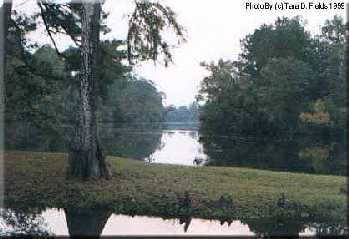
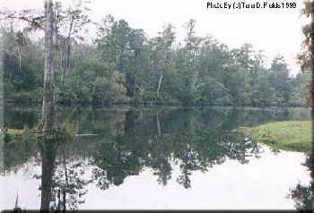
Under ancient oaks, heavily laden with Spanish moss lies old Coleraine. Located deep in
the southwestern corner of Camden County and nestled against a curve of the beautiful St. Marys River, Coleraine exudes peace. |
 |
The deep water of the St. Marys River seems to feel the scene is so beautiful it has to
mimic it in its tannic stained waters. I felt truly honored that the people of Coleraine allowed our group to roam their breath-taking property. |
 |
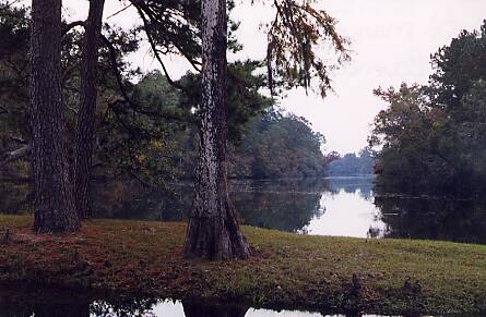
Some time ago, I attended a Guale Historical Society meeting where
Jack Mays (of
Charlton County) spoke. I can recall him speaking of Coleraine as one of the, if not the, most beautiful spot in the area. He also mentioned that it was a shame that Charlton County did not get Coleraine when they split off from Camden!
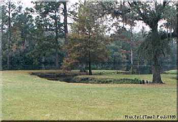
So much of Camden and Charlton Counties have been logged that this view of a more "wild" land is a wonderful respite from the sameness of the more common pine-planted or clear-cut lands.
|
 |
A bit of the St. Marys River has been encouraged to creep into the land via this "U" shaped canal. |
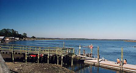
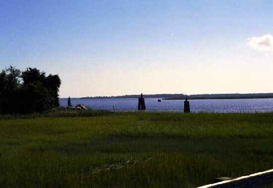
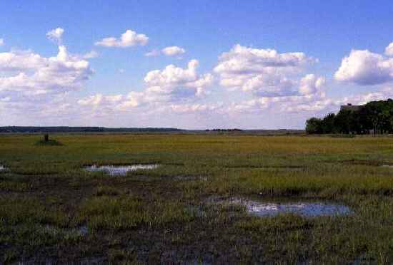
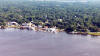
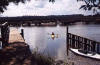
St. Marys
Waterfront
Here are a few snapshots Tara Fields took at the St. Mary's Waterfront near
Lang's Marina & Restaurant. The St. Mary's waterfront used to be the oldest English, then American, port when Florida was still the hands of Spain. Smuggling and piracy were both known to occur in this port.
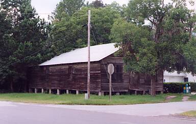
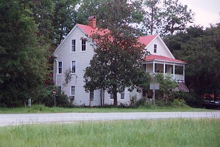
White Oak Creek
 |
Driving through Camden on Interstate 95, you will miss most of what is interesting in our County. Instead, you need to get off the beaten path and find some old, dusty, dirt roads! |
 |
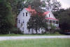
Just north of White Oak Creek, the community of White Oak might not be on a dirt road, but most travelers will still miss it. Not quite an
incorporated town, a small sign and a few houses are all that let you know that you've entered White Oak. |
 |
|